Ski tour · Winter
Wildes Hinterbergl via the Turmscharte 3288 m
- Duration
- 4 h 30 min
- Distance
- 7.5 km
- Ascent
- 1180 mDescent 40 m
- Highest point
- 3290 mfrom 2150 m
- Difficulty
- Rock II · Ski WSUIAA climbing scale (Turmscharte) · SAC ski touring scale (Abzweigung Berglasferner – Gletschervorfeld Alpeiner Ferner)
- Start / finish
- Franz-Senn-HütteFinish: Wildes Hinterbergl
Route points: Franz-Senn-Hütte 0,0 km, 2150 m – Abzweigung Berglasferner 2,5 km, 2270 m – Gletschervorfeld Alpeiner Ferner 3,5 km, 2530 m – Turmscharte 6,4 km, 3130 m – Wildes Hinterbergl 7,6 km, 3290 m
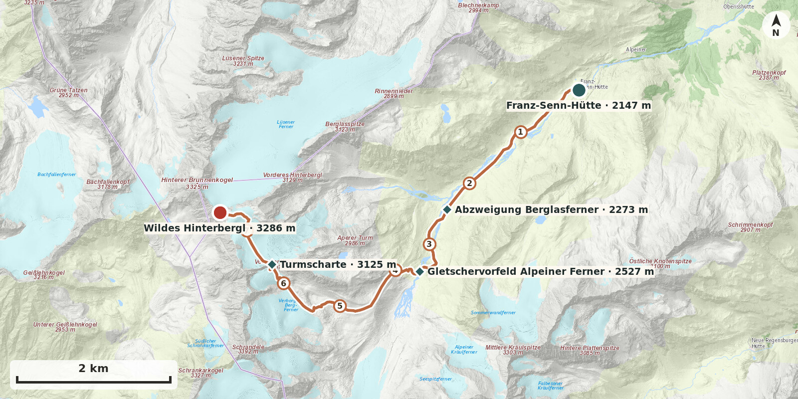
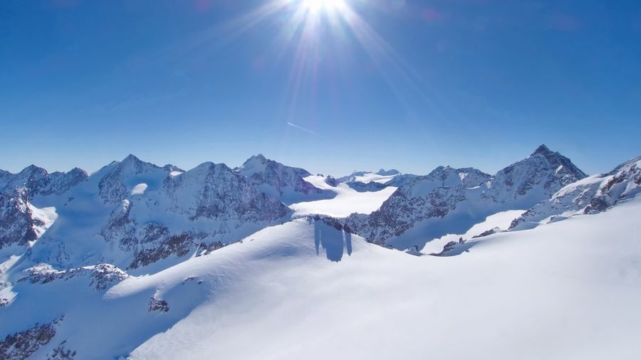
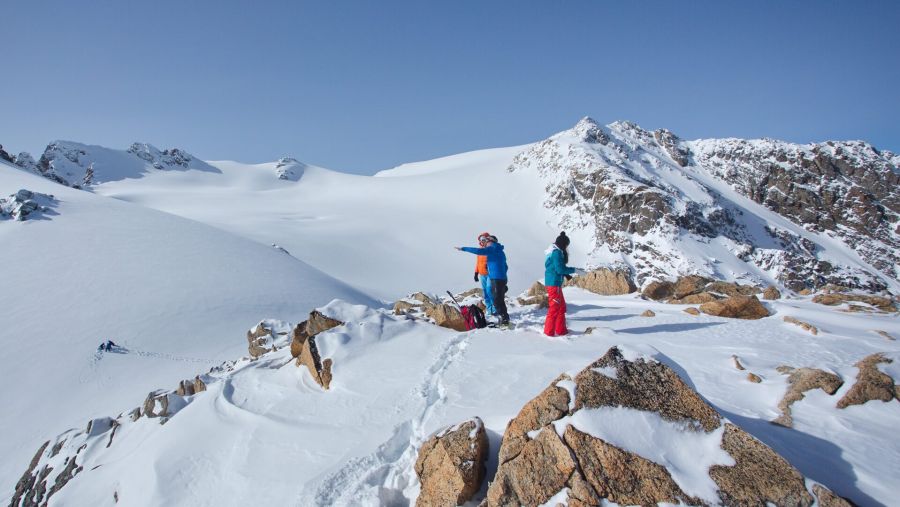
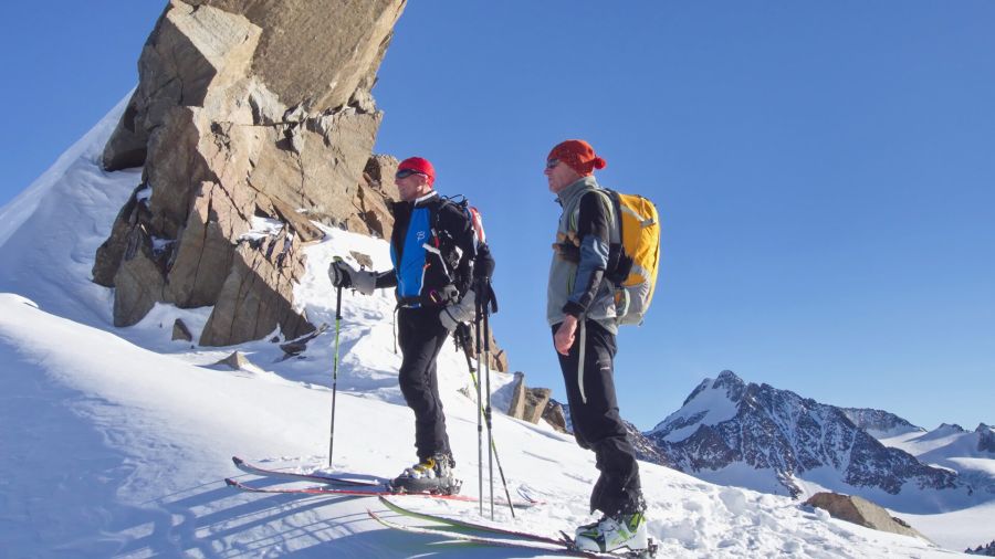
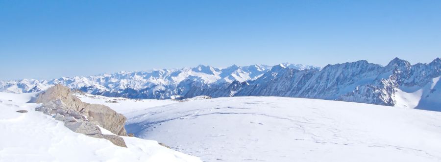
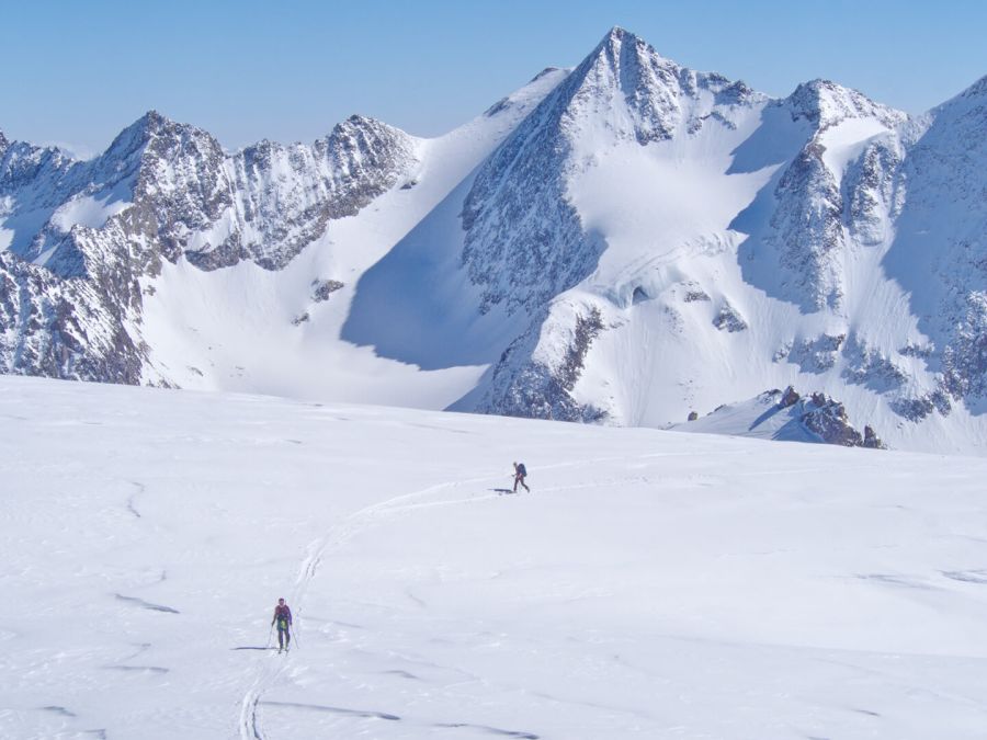
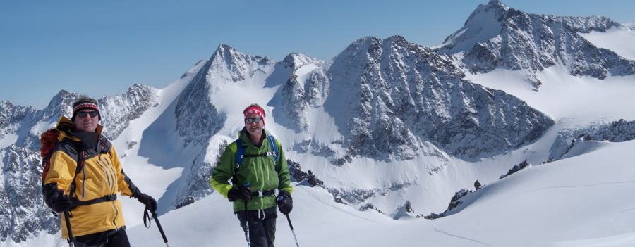
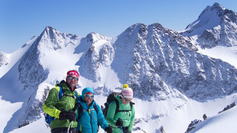
Wildes Hinterbergl (3288 m) via the Turmscharte is the longest but least crevassed ascent of this popular ski peak – the alternative to the shorter but extremely crevassed route over the Berglasferner. The route through the broad, flat basin of the Verborgen-Berg-Ferner is scenically impressive; the crux is the Turmscharte, which is crossed on foot with skis on the rucksack.
Route description
-
Franz-Senn-Hütte → Abzweigung Berglasferner
From the Franz-Senn-Hütte, follow the mostly groomed, pole-marked track to the head of the valley.
-
Abzweigung Berglasferner → Gletschervorfeld Alpeiner Ferner
From the head of the valley, climb on the right (facing uphill) over the moraine slopes to about 2400 m. Cross the Alpeiner Bach and make a broad right-hand arc up onto the glacier forefield of the Alpeiner Ferner.
-
Gletschervorfeld Alpeiner Ferner → Turmscharte
From the junction, head west and climb about 100 metres in height to the moraine. At the signpost, enter the hollow behind it and follow this south-west until the view opens out again into the upper Alpeinertal. Head west towards the Verborgen Bergferner to about 2900 m.
Level at first, then climbing noticeably in switchbacks to below the Turmscharte.
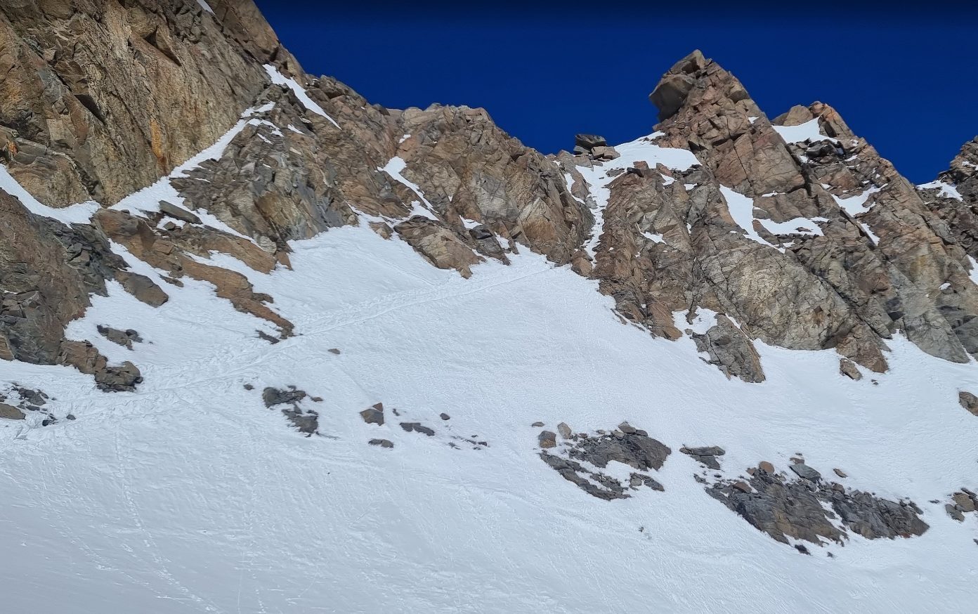
In summer, easy climbing at first to the start of the steel cable. Bolted belays and runners. In winter, make a wide detour left (facing uphill) above the usually snow-covered climbing passage, following a boot track to the steel cable. This leads directly to the Turmscharte. On the north side, an easy descent for a few metres.
-
Turmscharte → Wildes Hinterbergl
From the Turmscharte, make a wide arc across the upper part of the Berglasferner, then climb the short slope to the summit plateau. Finally head west to the summit of Wildes Hinterbergl.