Ski tour · Winter
Schafgrübler 2921 m – Horntalerspitze
- Duration
- 3 h 30 min
- Distance
- 4.5 km
- Ascent
- 880 mDescent 110 m
- Highest point
- 2920 mfrom 2150 m
- Difficulty
- Ski ZSSAC ski touring scale (From Alpein into the outer Horntal)
- Start / finish
- Franz-Senn-HütteFinish: Schafgrübler
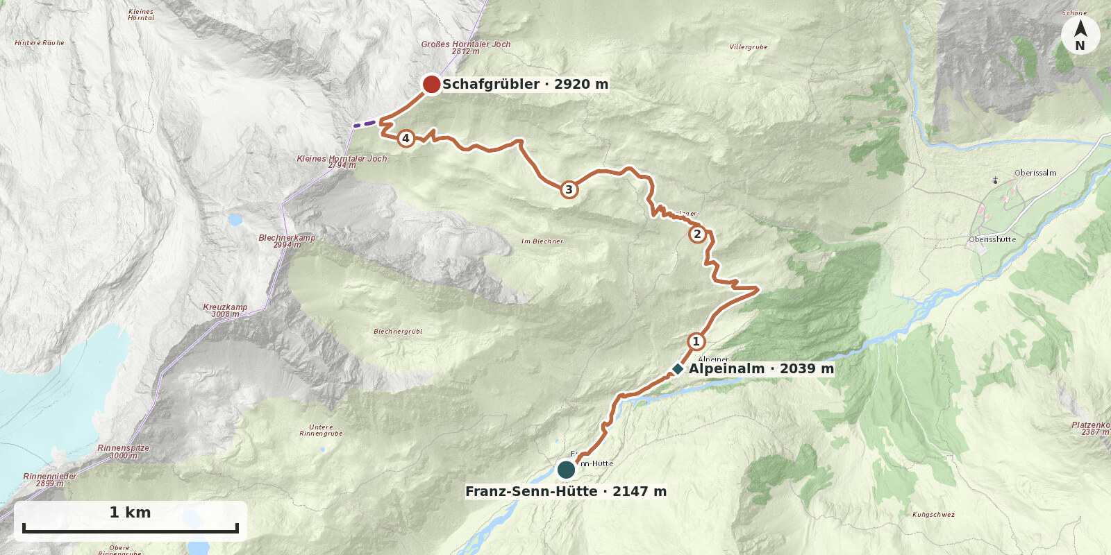
Route points: Franz-Senn-Hütte 0,0 km, 2150 m – Alpeinalm 0,9 km, 2040 m – Schafgrübler 4,5 km, 2920 m
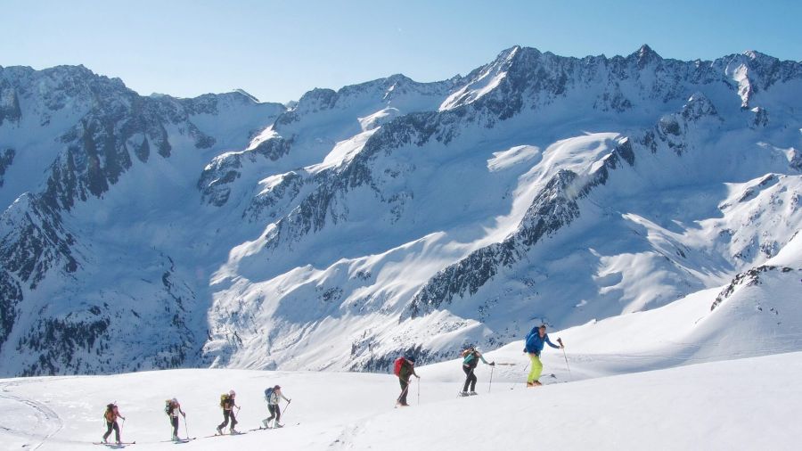
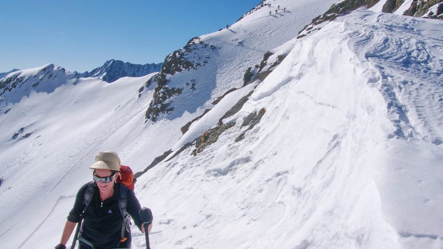
The ski route to Schafgrübler (2921 m) also takes in the Horntaler Spitze (2863 m) and the connecting ridge between the two summits. This links two objectives above the Alpeiner Alm; the reward is the broad south- and south-east-facing slopes of the Horntal, which are firn-covered in spring. The ridge is exposed and sometimes corniced – this variant is therefore more demanding than the route via the Horntaler Joch and is suitable only for experienced ski mountaineers in safe conditions.
Route description
-
Franz-Senn-Hütte → Alpeinalm
Descend directly from the hut to the Alpein Alm.
-
From Alpein into the outer Horntal
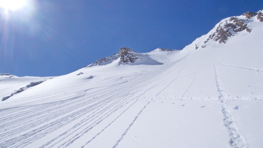
From the alpine pasture, climb the south-east-facing slopes until you reach the level of the Stubaier Höhenweg to the Starkenburger Hütte at 2280 m. Now keep right of the rock band dividing the Horntal in two. At 2500 m you reach a level section.
-
to the SW ridge of Schafgrübler
Head west-south-west, making use of the undulating terrain, to the short but steep rises below the ridge linking Schafgrübler and Horntalerspitze. Climb these to reach the ridge.
-
→ Schafgrübler
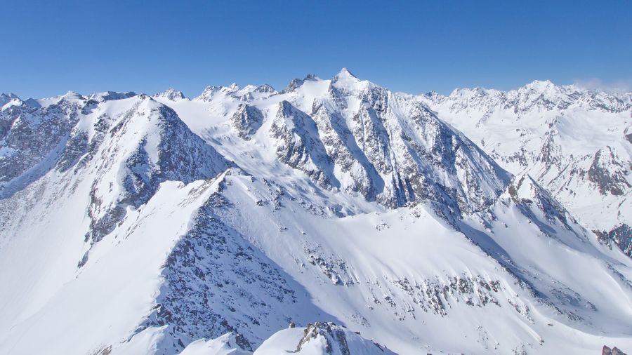
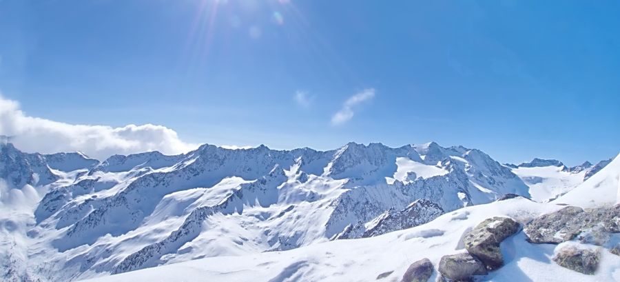
Follow the ridge, crossing very steep slopes, mostly on the north-east side, to the east ridge and along this to the highest point (around 100 vertical metres). Depending on snow conditions, skis are left at the col; the ridge requires sure-footedness and, in places, the use of hands. The view is correspondingly extensive from this isolated summit.