Ski tour · Winter
The Unnamed 3265 m
- Duration
- 4 h 30 min
- Distance
- 7 km
- Ascent
- 1150 mDescent 30 m
- Highest point
- 3260 mfrom 2150 m
- Difficulty
- Ski ZSSAC ski touring scale (der Unbenannte (3265m))
- Start / finish
- Franz-Senn-HütteFinish: der Unbenannte (3265m)
Equipment: Glacier equipment
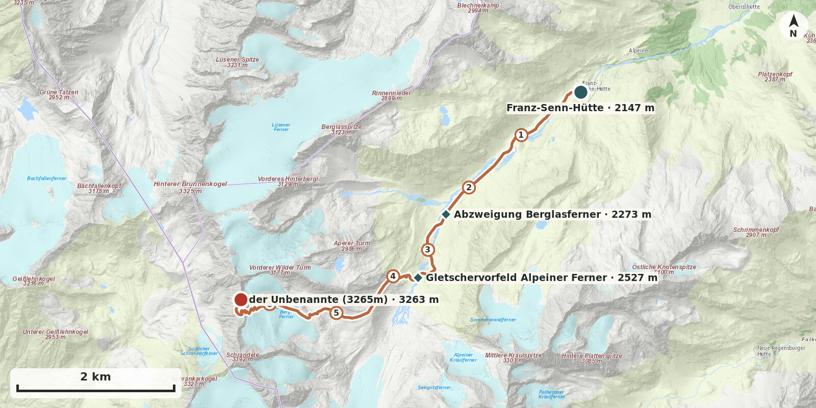
Route points: Franz-Senn-Hütte 0,0 km, 2150 m – Abzweigung Berglasferner 2,5 km, 2270 m – Gletschervorfeld Alpeiner Ferner 3,5 km, 2530 m – der Unbenannte (3265m) 6,8 km, 3260 m
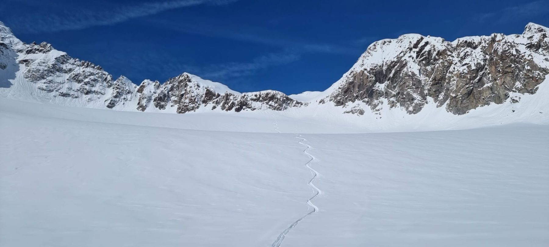
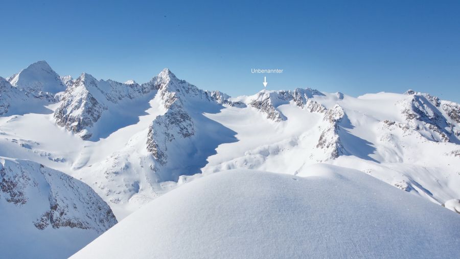
Between the Schrandele and the Hinterer Wilder Turm lies an unnamed point of 3264 m, which can be reached on skis from the Verborgen-Berg-Ferner almost to the very top. A worthwhile, little-frequented alternative to the Wildes Hinterbergl – with glacier terrain but no climbing.
Route description
-
Franz-Senn-Hütte → Abzweigung Berglasferner
From the Franz-Senn-Hütte, follow the mostly groomed, pole-marked track to the head of the valley.
-
Abzweigung Berglasferner → Gletschervorfeld Alpeiner Ferner
From the head of the valley, climb on the right (facing uphill) over the moraine slopes to about 2400 m. Cross the Alpeiner Bach and make a broad right-hand arc up onto the glacier forefield of the Alpeiner Ferner.
-
Gletschervorfeld Alpeiner Ferner → der Unbenannte (3265m)
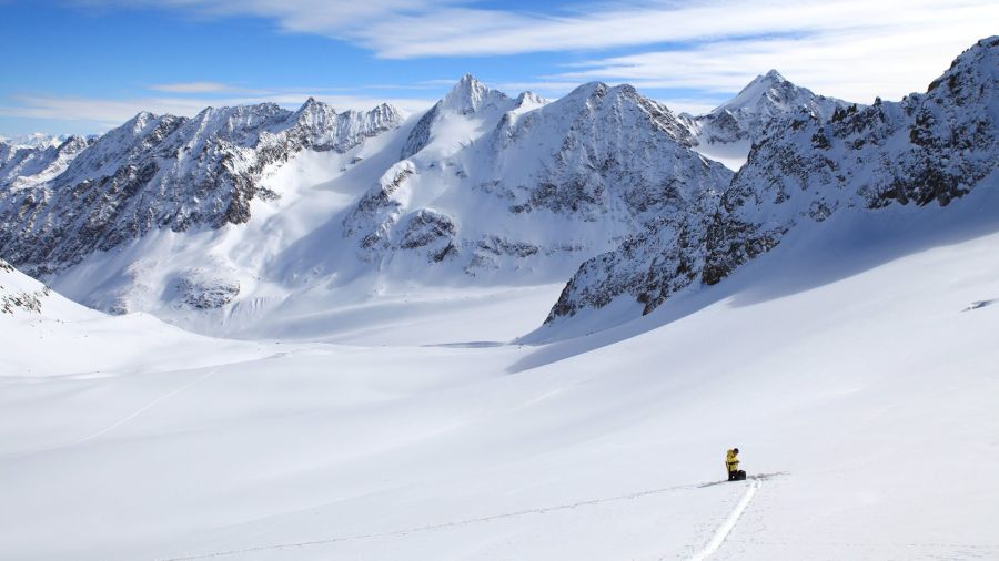
From the junction, head west and climb about 100 metres in height to the moraine. At the signpost, enter the hollow behind it and follow this south-west until the view opens out again into the upper Alpeinertal. Head west towards the Verborgen Bergferner to about 2900 m.
At about 2900 m leave the Turmscharten track: instead of continuing north-west, keep left (facing uphill) and ascend beside the prominent rocks into the broad hollow below Schrandele. Continue over increasingly steep slopes and through a prominent narrow section (skis often carried) to the saddle between Schrandele and point 3265 m. From there, reach the highest point in a few minutes – depending on conditions, the last few metres on foot.