Ski tour · Winter
Oberißalm 1740 m via Gschwezgrat 2500 m
- Duration
- 1 h 55 min
- Distance
- 2.5 km
- Ascent
- 520 mDescent 10 m
- Highest point
- 2660 mfrom 2150 m
- Difficulty
- Ski SSAC ski touring scale (Ascent to Gschwetzgrat)
- Start / finish
- Franz-Senn-HütteFinish: Oberes Kuhgschwetz
Route points: Franz-Senn-Hütte 0,0 km, 2150 m – Abzweigung Gschwezgrat 1,4 km, 2400 m – Gschwetzgrat 1,7 km, 2510 m – Oberes Kuhgschwetz 2,3 km, 2660 m
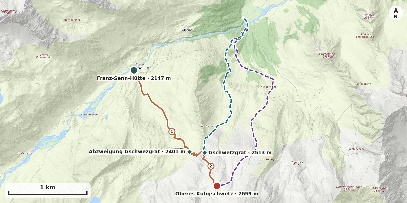
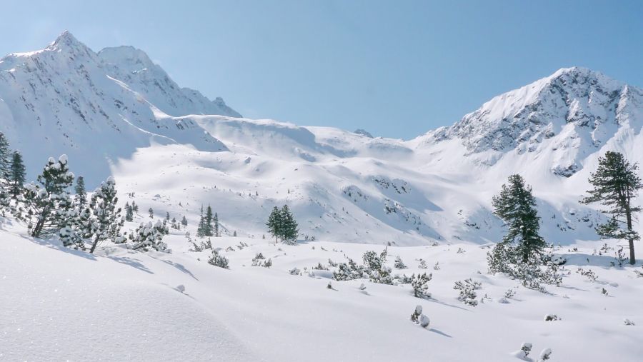
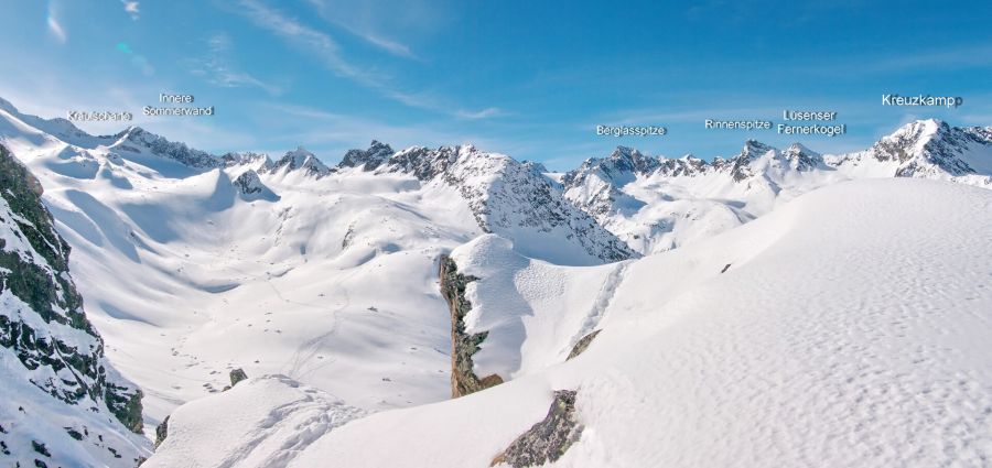
The descent over Gschwezgrat makes a sporting finish to a stay at the hut: instead of taking the winter route, make a short ascent from the hut to Gschwezgrat (around 2500 m), then descend the north-north-east-facing steep slopes and Kuhgschwez to Oberißalm (1740 m). Around 760 vertical metres of descent in demanding terrain, with several very steep sections – only for competent skiers in good conditions. This variant can readily be combined with Kräulscharte or Innere Sommerwand.
Ascent: From the hut follow the route to Kräulscharte through Stiergschwez to about 2420 m. Here turn right up the very steep west-north-west slope to the start of a very steep rocky gully, and follow this to Gschwezgrat; the crossing lies in the area of Oberisser Scharte (c. 2465 m). The steep slope up to the saddle is the crux of the tour – if there is any risk of slab avalanche, leave this variant alone.
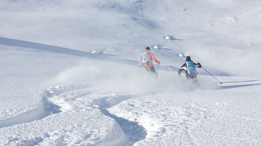
Descent: From the ridge descend north-north-east over several very steep sections of terrain into the broad hollow of Kuhgschwez, then continue through it on a long, varied descent to near Oberißalm. The valley step below Kuhgschwez is very steep and needs sufficient snow, as does the larch zone right at the bottom. From Oberißalm continue on the prepared road to Seduck.
Notes: About 350 vertical metres of ascent and 760 vertical metres of descent, around 1 hour to the ridge. No glacier gear; ski crampons, and possibly crampons in the rocky gully. The descent slopes face north to north-east; this variant is recommended only in safe avalanche conditions and good visibility. Best period January to April, as long as there is snow down to Oberißalm.
Descent: skis, rock
Route description
-
Franz-Senn-Hütte → Abzweigung Gschwezgrat
From the hut, first follow the valley floor on level ground, then climb a short steep step and continue over easier ground southwards below the Gschwezgrat at about 2400 m.
-
Ascent to Gschwetzgrat
Via the very steep west-north-west slope to the foot of a very steep rock gully (fixed rope), then up this to the Gschwezgrat.
-
Gschwetzgrat → Oberes Kuhgschwetz
From the Gschwezgrat, first climb southwards in short switchbacks up a rising gully. Soon move left (facing uphill) onto the boulder field and ascend across it to a broad level section in the upper Kuhgschwetz.
Ski descents
Ski descent 1: Talschluss Oberiß
The descent keeps right through the hollow below the Uelasgrat and continues into the Kuhgschwetz. At about 2040 m – around one hundred metres below the Stubaier Höhenweg – bear clearly left, then descend through a prominent gully, or just to its left, to the head of the valley.
Ski descent 2: Talschluss Oberiß
From Gschwetzgrat descend directly. First keep left to below the terminal moraine at about 2300 m. Continue through Kuhgschwetz, following the undulating terrain, to the start of the prominent gully at the dwarf pine belt. Descend this to the head of the valley.