Hike · Summer
Franz-Senn-Hütte
2147 m, Stubaier Alpen Tour sheet
The Untere Sommerwandsee
- Duration
- 25 min
- Distance
- 0.5 km
- Ascent
- 110 m
- Highest point
- 2260 mfrom 2150 m
- Difficulty
- Trail T2SAC hiking scale (Franz-Senn-Hütte – Unterer Sommerwandsee)
- Start / finish
- Franz-Senn-HütteFinish: Unterer Sommerwandsee
Route points: Franz-Senn-Hütte 0,0 km, 2150 m – Unterer Sommerwandsee 0,7 km, 2250 m
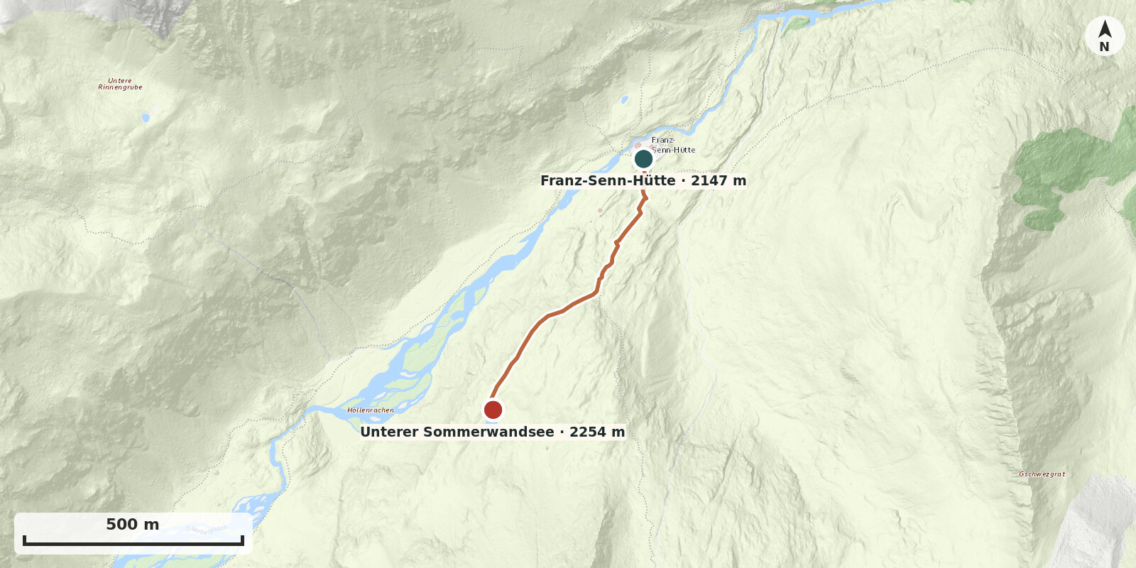
Short walk to a small natural gem
Route description
-
Franz-Senn-Hütte → Unterer Sommerwandsee
From the hut, head towards Vordere Sommerwand. After about 50 vertical metres leave the path to the right and climb a few more vertical metres to a terrace above the Alpeinertal. Follow the traces of a path southwest to the lake.