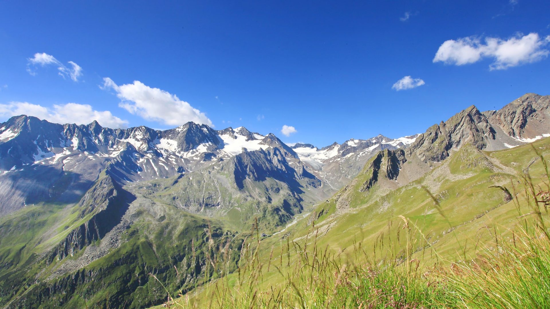
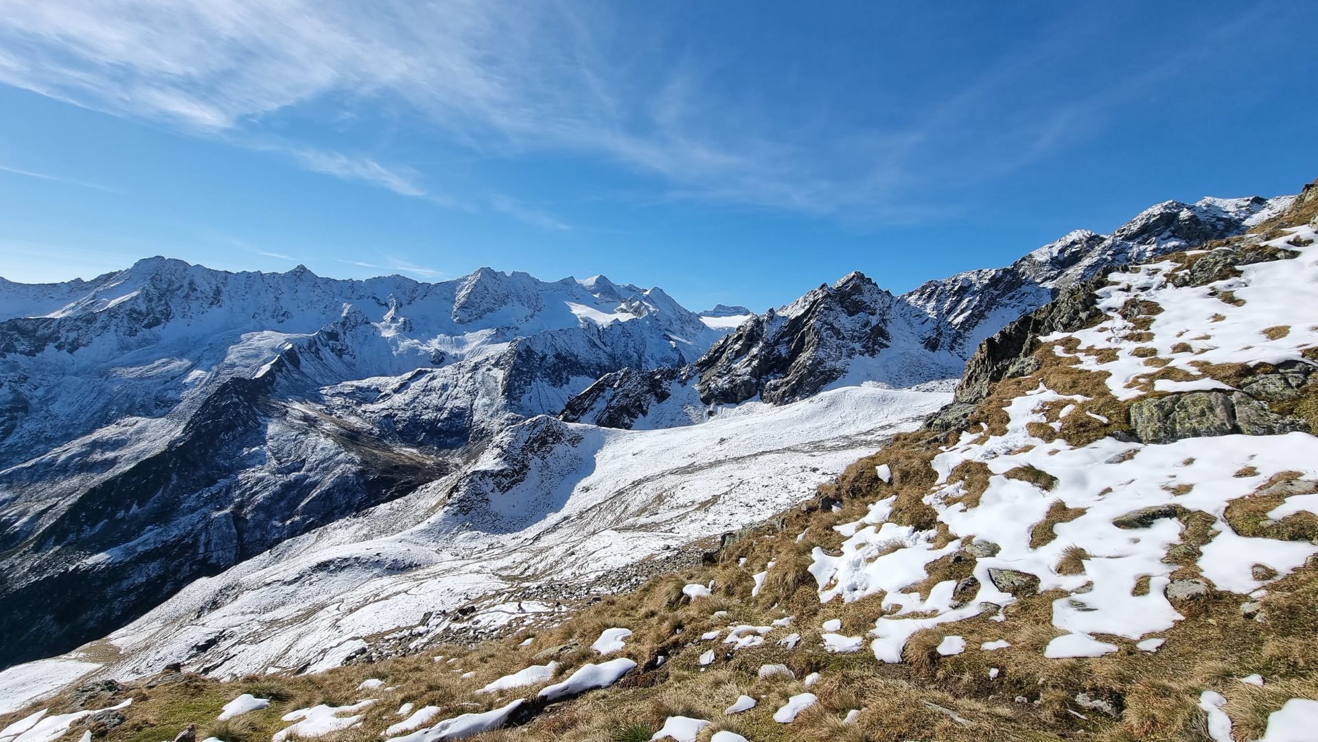
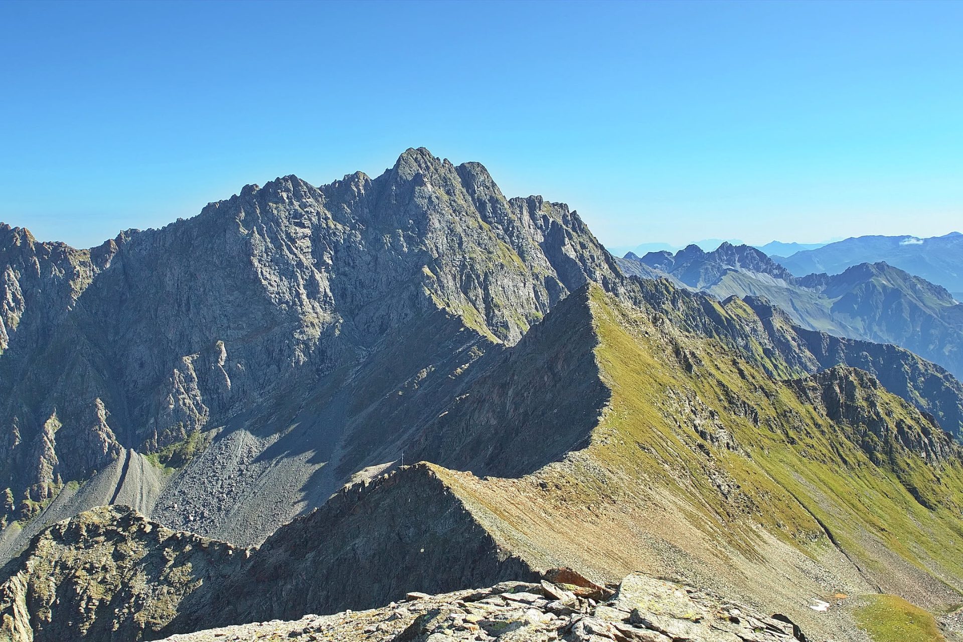
Schafgrübler is a quiet walking summit above the Horntal, in an area where, for most of the day, you are likely to meet only sheep, chamois and marmots. The path through the Horntal was already marked in 1898 by the Innsbruck section of the Alpine Club; the summit block above the Horntaler Joch is short, but steep and rocky, and requires sure-footedness and a head for heights. The reward is an open panorama across the Oberbergtal to the glaciers of the Alpeiner Kamm and across to the Lüsenstal.
Route description
-
Franz-Senn-Hütte → Abzweigung Höhenweg0,5 km · T3i
Behind the hut, cross the bridge over the Alpeiner Bach and immediately turn right onto the marked path towards the Starkenburger Hütte. After about 10 minutes you reach the junction.
-
Abzweigung Höhenweg → Abzweigung Horntaler Joch0,6 km · T2i
Immediately after the signpost, cross a small stream. The path first runs almost level along the sunny slopes down-valley, then climbs gently and gradually to the signpost at the turn-off for the Horntaler Joch – Starkenburger Hütte.
-
Abzweigung Horntaler Joch → Großes Horntaler Joch2,2 km · T2i
At first the path climbs in short, steep switchbacks. Soon afterwards it passes below a rock band and gains height on grassy slopes at Maurenleger. At about 2500 m the path crosses the small Maurenlegerbach on a level section, then continues to climb through rocky meadow slopes into the Villergrube. From the Villergrube, a few switchbacks lead up to the Horntaler Joch.
-
Großes Horntaler Joch → Schafgrübler0,3 km · T3i
From the Joch, first head south over a rocky ridge to the north side of the summit block. From there, follow the sparse markings for a few metres to the summit.
Descents
Alternative ways back from a place on the main route – to the hut or to another destination. Dashed on the map; the figures for the whole tour with this descent are given with the entry, elevation profile, GPX and tour facts above refer to the main route (the ascent).
Descent 1: to Abzweigung Horntaler Joch
Whole tour with this descent: 5,8 km · ↑ 780 m ↓ 680 m · Highest point 2920 m · Trail T4 (-0,3 km, +0 m)
-
Schafgrübler → Abzweigung Horntaler Joch2,2 km · T4i
The south-west ridge of the Schafgrübler can be used as an alternative descent. Straightforward but treacherous – especially when wet – the descent follows the ridge towards the Horntaler Spitze. Grass and lichen on the rocks can be very slippery. Ground with a serious fall hazard! Continue down through a gravel flank to a small shelf. Pathless through the Horntal, past a weather station, down to the original ascent path.